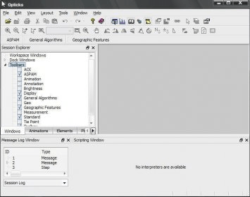
Opticks is an expandable remote sensing and imagery analysis software platform that is free and open source. If you are interested you can learn about the history of Opticks.
If you've used commercial tools like: ERDAS IMAGINE, RemoteView, ENVI, or SOCET GXP, then you need to give Opticks a try. Unlike other competing tools, you can add capability to Opticks by creating an extension. Opticks provides the most advanced extension capability of any other remote sensing tool on the market.
features:
-Free and open source
-Supports the following file formats: NITF 2.0/2.1, -GeoTIFF, ENVI, ASPAM/PAR, CGM, DTED, -Generic RAW, ESRI Shapefile, HDF5, AVI, MPEG, JPEG, GIF, PNG, BMP
-Zoom, pan, rotate spatially large datasets
-Quickly layer GIS features, annotations, results, and other information over your data to provide context
-Many image display controls such as colormap, histogram, transparency, etc.
-Support for datasets larger than four gigabytes
-Analysts can quickly combine steps using graphical wizards
-Support for processing data in it's native interleave of BIP, BSQ or BIL
-Get extensions to drop in new capability.
Comments